For FAQs regarding Explore with Imray click here. For further help and support please contact explore@imray.com
Discover Imray's range of apps and online services to help you plan and navigate your adventures
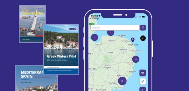
Give the gift of exploration!
Access Imray content via the web and iOS app for iPhone and iPad.
Annual membership of Explore with Imray includes over 17,000 locations from 38 of Imray’s world-renowned cruising guides to inspire and inform sailing adventures.
Locations can be saved for access offline while offshore, from a map, satellite view or by chapter from the library.
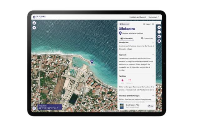
Explore with Imray
A digital library of geolocated cruising information from Imray's world-renowned pilot books. Discover new books and sailing areas with full access to all information through our membership.
Explore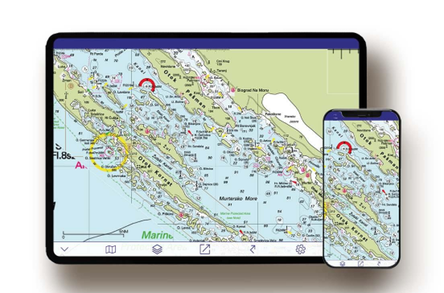
Imray Navigator
Imray's charting app brings our award-winning raster charts to your phone and tablet. With European and Caribbean coverage and navigation tools inbuilt, Navigator helps you on your way on the water.
Imray Navigator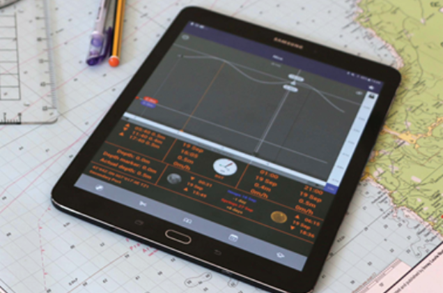
Imray Tides Planner
Tides Planner is an essential companion for anyone taking part in activites near the sea. The app contains tidal predictions, currents, sun and moon information and much more!
Tides Planner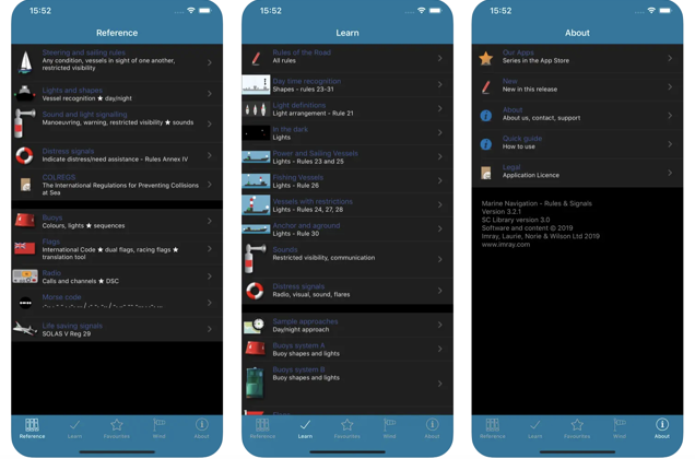
Marine Rules & Signals
The reference guide to rules and signals at sea; a useful tool for sailors, fishermen, surfers and people involved in sea water sports. Includes rules of the road and signals & communication, uses learning cards and clear illustrations.
Download on the App Store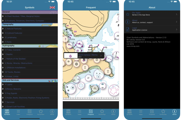
Chart Symbols
A quick reference to the signs, symbols and abbreviations used on official nautical charts. Includes comprehensive coverage: more than 800 symbols and abbreviations. Useful as an aid for teaching and learning, or as reminder for experienced sailors and sea cartography users.
Download on the App Store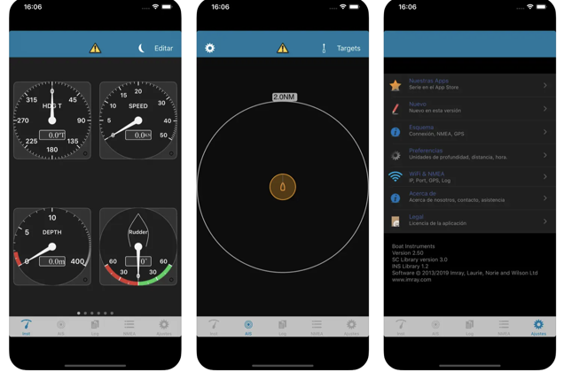
Boat Instruments
AIS, GPS and instruments for your boat, allows integration with Imray Navigator. The essential companion to boat instrumentation or to complement the GPS functions of your device. The app connects through WiFi to NMEA bridges that transmit instrumentation and AIS data. You can configure flexible pages of analogue and digital instruments, which display realistic gauges and panels: depth, speed, course, wind, location, rudder, rpm.
Download on the App Store