Content Pricing

What's new?
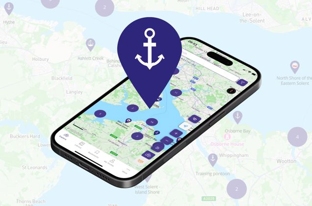
Use the new Explore with Imray mobile app to take your content offline! Choose locations from the Library and download by Chapter, or Bookmark individual locations. The app is available for iPhone and iPad only (for now!).
Download on the App StoreExplore with Imray offers content from Imray’s world-renowned library of pilot books in a new digital, geolocated format. The information in the books we publish is researched first hand by experienced sailors. In addition, it includes information from networks of local contacts built up over many years, and data from official hydrographic offices, organisations and institutions.
Alongside this wealth of information members can submit updates which will be checked by authors and Imray to provide a level of confidence in the data, and new locations not included in the books can be added. You can also create your own locations.
VERIFIED AND TRUSTED CRUISING INFORMATION
Invaluable pilotage information and sailing directions as well as contact, marina, mooring and facilities information alongside the images and plans from the extensive Imray library.
ACCESS TO CONTENT OFFLINE
Members can view and save content to their iPhone or iPad for access offline. By single location bookmark or by chapter, from the library.
FILTER LOCATIONS
Filter locations by facilities to find exactly what you need. Only see pins that meet your requirements.

MORE FEATURES...
Add your feedback
Submit your feedback and updates on the location pins. Submissions are reviewed by authors and Imray before being incorporated in our published data. You can also submit new locations for consideration, via the map, where no current pin exists.
Get social
Set up a profile and find other users to follow. Use the blogging tools to share and illustrate your stories with your followers.
Satellite view
You can turn on satellite view to get a real world view of the location you are reading about.

For FAQs regarding Explore with Imray click here. For further help and support please contact support@imray.com